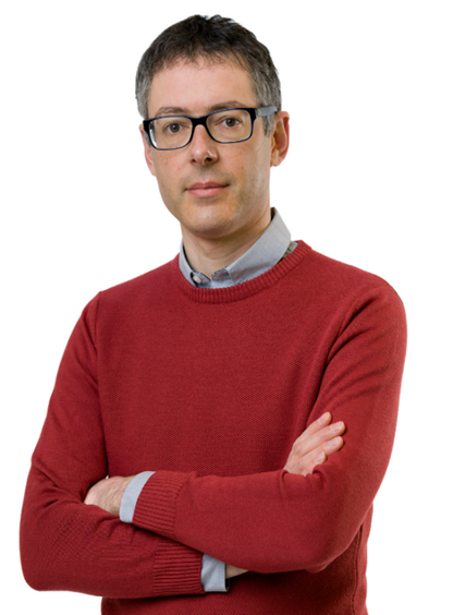
报告人:Michele Dalponte(意大利埃德蒙·马赫基金会研究与创新中心 研究员)
时间:2025年5月15日(周四) 10:00-11:30
地点:测绘馆206报告厅
报告简介:
Forests cover 30% of our planet and they are very important for human life as they are key factors in the carbon and water cycle. Forests are also subject to many threats, some directly due to human activity, such as deforestation, and others due to climate change. In particular, climate change is increasing the level of forest disturbances (e.g. insect outbreaks, diseases, windthrows). Satellite remote sensing, and in particular multitemporal data, are a key technology to study changes happening in this ecosystem. In this presentation some examples of studies to detect, map, and analyze forest disturbances using remote sensing will be shown. In particular the presentation will focus on the use of satellite multi temporal remote sensing data, both optical and SAR. After a general introduction on the concept of forest disturbances the presentation will focus on windthrows damages detection, bark beetle infestation detection and the effects of extreme climatic events like late spring frost and summer heat waves on forests.
报告人简介:
Michele Dalponte is currently Head of the Forest Ecology Unit at the Research and Innovation Centre, Edmund Mach Foundation (Italy). Dr. Dalponte received his PhD in Information and Communication Technologies from the University of Trento (Italy) in 2010, and Bachelor and Master Degrees in Telecommunication Engineering from the same University in 2003 and 2006, respectively. His research focuses on applying remote sensing techniques—such as LiDAR, SAR, optical satellite data, and hyperspectral imagery—to forest and vegetation monitoring. Over the years, he has worked on a range of topics, including forest disturbance detection (e.g., windthrows, bark beetle infestations, and heartwood rot), tree species mapping, biomass estimation, plant trait diversity assessment, and grassland monitoring. He collaborates closely with forest practitioners and local stakeholders to address practical challenges in forest management while also contributing to the development of innovative methodologies for processing remote sensing data in forestry and ecological applications. He is a referee for many remote sensing journals.