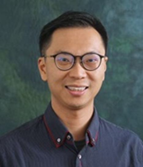
报告人:Wallace Lai(香港理工大学 教授)
时间:2025年10月13日(周一) 13:30-14:30
地点:测绘馆206报告厅
报告简介:
This talk will focus on the five actions of academic involvement and impact on municipal management of the very complicated underground utilities survey and management in Hong Kong, and how our land surveying, remote sensing and GIS disciplines can contribute to it. The actions include perspectives not only science and technologies, but also technology-based and data-driven decision-making process to bridge the knowledge gap among various utilities stakeholders.
报告人简介:
Prof. Lai is the Professor and Associate Head (Teaching) in Department of Land Surveying and Geo-informatics of The Hong Kong Polytechnic University. He teaches and conducts research and consultancy of nondestructive testing, survey and evaluation to investigate unseen underground utility and engineering structures with ground penetrating radar, infrared thermography and acoustic methods. Prof. Lai has been serving as a guest scientist at the Federal Institute of Materials Research and Testing (BAM) in Berlin, Germany since 2010, initiating, organizing and lecturing in the annual NDT-CE workshop in BAM. He organized and chaired 16th Ground Penetrating Radar Conference in Hong Kong in 2016. He also designs, builds and operates the first underground utility survey lab in Hong Kong in 2014. With increasingly complex underground problems and 15% underground loss of water in HK, Dr. Lai was commissioned in 2019 to design and build a full-scale 25,000 sq.ft. training and research centre (Q-Leak) of underground leak detection and diagnosis. In the utility lab and Q-Leak, he designs blind test and measures cognitive biases in the process of human-machine interaction. Since 2017, he has been chairing committees, working groups and a Government task force to setup six utility survey specifications leading to the world-first accreditation scheme, and assisting the training of professionals in other countries like Malaysia and Singapore. He is also a technical assessor for the Hong Kong Accreditation Services of Innovation and Technology Commission of the HKSAR Government. Recent interest of Prof. Lai extends to unfold and model the terrain of hidden and lost WWII heritage sites using a range of geo-spatial technologies including air-borne, terrestrial LiDAR and photogrammetry. He authors 100+ journal and conference articles, and is the PI and Co-PI of 50+ research and consultancy projects amounted over HK$ 70M.