陆平,同济大学测绘与地理信息学院长聘副教授,博士生导师。欧盟委员会玛丽居里学者,同济大学青年英才计划获得者。毕业于意大利佛罗伦萨大学地球科学专业,博士。主要研究方向为灾害遥感与全球变化,包括滑坡多源空间传感器网络立体观测、地质灾害隐患遥感智能识别与风险评估、青藏高原多年冻土环境遥感监测与活动层厚度反演等。主持国家自然科学基金项目4项、国家重点研发计划重点专项/973计划二级课题3项、第二次青藏高原综合科学考察研究子专题1项。发表中英文学术论文100余篇,包括SCI期刊论文70余篇,ESI高被引论文3篇,被引用4500余次。获得上海市自然科学奖一等奖1项。现任国际滑坡学会(ICL)理事会成员、联合国国际滑坡计划全球推广委员会(IPL-GPC)委员、国际地质灾害与减灾协会(ICGdR)教席副主席,中国岩石力学与工程学会滑坡与工程边坡分会委员、中国地震学会地震灾害链专业委员会委员、《Geohazards & Remediation》责任编辑、《Geoenvironmental Disasters》编委。
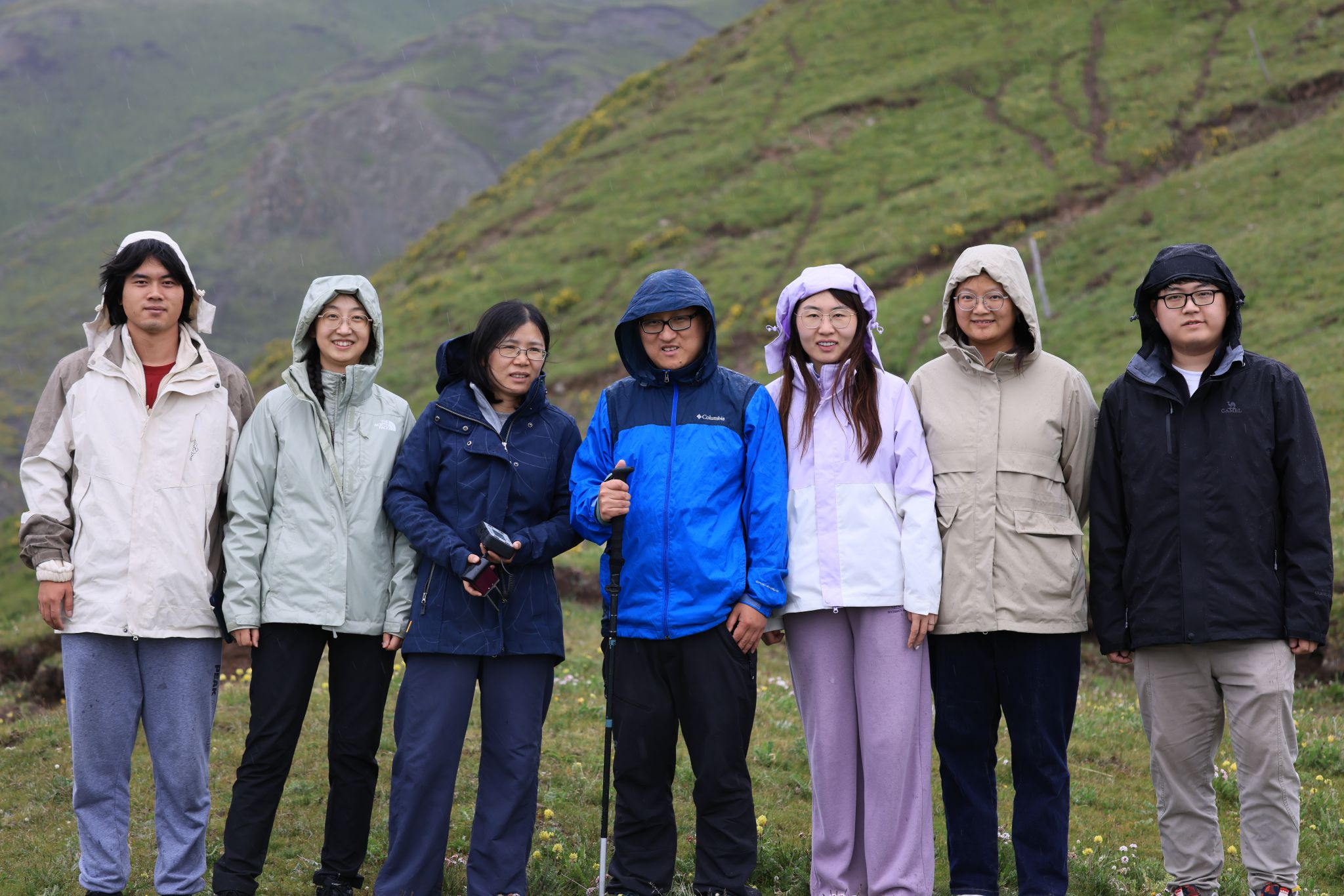
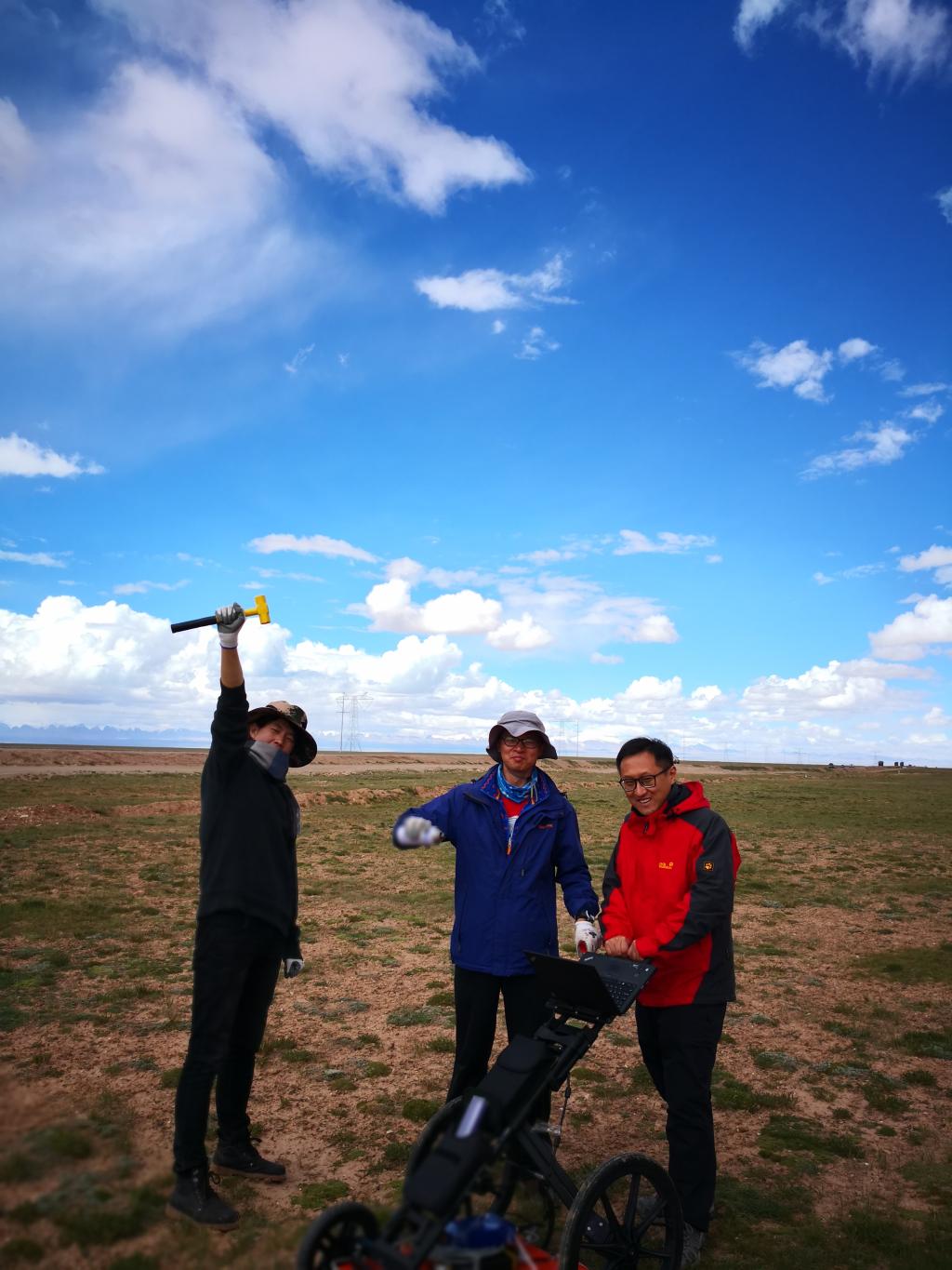
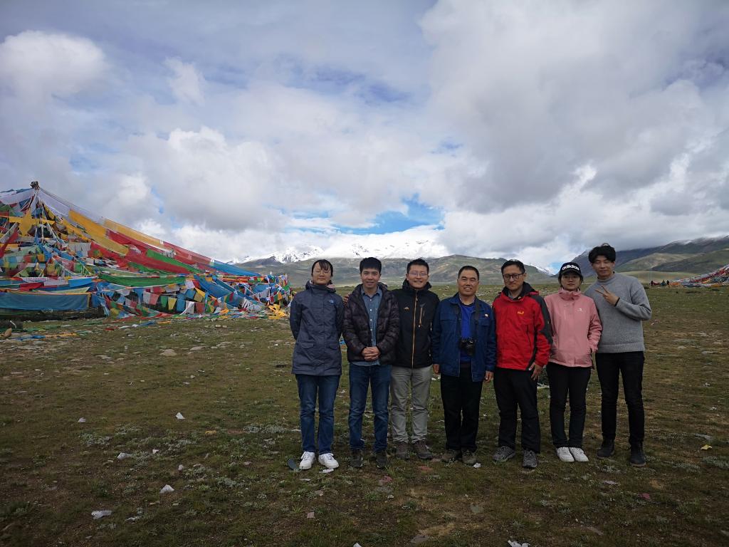
欢迎热爱科学、热爱自然、热爱生活,有志于学术研究的研究生、博士后等科研人员加入研究小组!
联系方式:luping@tongji.edu.cn
教育背景及工作经历
2025.1-至今 同济大学 测绘与地理信息学院 长聘副教授
2016.1-2024.12 同济大学 测绘与地理信息学院 副研究员
2012.7-2015.12 同济大学 测绘与地理信息学院 讲师
2007.9-2011.9 意大利佛罗伦萨大学 地球科学 博士
2004.9-2007.9 比利时天主教鲁汶大学 对地观测 硕士
2000.9-2004.6 南开大学 环境科学 本科
科研奖励
强震扰动区复杂孕灾环境下岩土体失稳演化机理与全过程灾变理论研究,上海市自然科学奖一等奖,排名3,上海市政府,2020.12
主持科研项目
降雨型群发滑坡隐患识别与短临预警技术,国家重点研发计划项目子课题
基于MT-InSAR技术的多年冻土过火区地表形变监测,国家自然科学基金国际合作与交流项目
冻土产流机制与变化规律,第二次青藏高原综合科学考察研究子专题
基于精密空间对地观测技术的山地城市多灾害防控与韧性提升方法研究,高峰学科建设项目
川藏铁路沿线复杂孕灾环境下滑坡编目绘制方法研究,国家自然科学基金面上项目
青藏高原典型区域冻土活动层厚度产品研发,技术服务项目
基于马尔科夫随机场的滑坡编目自动绘制方法研究,国家自然科学基金面上项目
冰冻圈关键参数多尺度观测与数据产品研制,国家重点研发计划重点专项二级课题
基于多源传感器网络观测的滑坡灾害预测模型研究,中央高校基本科研业务项目
滑坡体结构动态探测及前兆获取方法研究,973计划重点专项二级课题
基于无人机的滑坡灾害快速调查方法研究,同济大学优秀青年教师计划
滑坡灾害快速调查技术与验证,中央高校基本科研业务项目
面向对象的滑坡编目快速绘制方法研究,国家自然科学基金青年项目
主要论文
Gao, X. and Lu, P.*, 2026. Dual-encoder multiscale transformer fusion network for landslide detection integrating Sentinel-2 spectral and topographic clues. Landslides, pp.1-15.
Shi, W., Li, Z.B., Lu, P.* and Xu, Z., 2026. Quantifying the climate mitigation potential of China's South-to-North Water Transfer Megaproject. Journal of Cleaner Production, 540, p.147503.
Gao, X., Lu, P.* and Yi, Y., 2026. High-resolution daily surface soil moisture mapping over the Qinghai–Tibet Plateau via predictors fusion and machine learning. Journal of Hydrology, p.134982.
Xiao, T., Wang, Q., Lu, P., Huang, T., Tong, X. and Atkinson, P.M., 2026. Crowd detection using Very-Fine-Resolution satellite imagery. ISPRS Journal of Photogrammetry and Remote Sensing, 232, pp.787-809.
Lu, P., Gao, X., Xiong, Z. and Shang, Y., 2025. Extraction and analysis of aerosol anomalies associated with multiple shallow earthquakes based on MODIS AOD products. International Journal of Applied Earth Observation and Geoinformation, 142, p.104671.
Wang, Q., You, Y., Yang, H., Xu, R., Zhang, H.K., Lu, P. and Tong, X., 2025. A TCN-Transformer Parallel model for reconstruction of a global, daily, spatially seamless FY-3B soil moisture dataset. Remote Sensing of Environment, 328, p.114841.
Lu, P., & Han, J. (2025). Remote Sensing for Identification and Mapping of Thermokarst Landforms: A Review. Permafrost and Periglacial Processes, 36(2), pp. 329-342.
Shi, W., Lu, P.*, Yang, H., Han, J., & Wang, Q. (2025). Quantifying the relative importance of natural and human factors on vegetation dynamics in China’s western frontiers during 2010-2021. Environmental Research, 271, p. 121120.
Shao, X., Liu, C., Lu, P., Li, Y., & Akbar, A. (2025). Landslide robotics: a prototype for interactive and sustainable geohazard investigation. Landslides, 22(4), pp. 1291-1308.
Li, L., Chen, Z., Lu, P., & Huang, Y. (2025). Dynamic response analysis of cross-fault tunnel considering source-to-structure seismic input and near-fault effect. Tunnelling and Underground Space Technology, 162, p. 106674.
Shi, W., Lu, P.*, Han, J., & Wang, Q. (2024). Evaluation of food-water-energy sustainable development in China’s western frontiers during 2010–2021. International Journal of Digital Earth, 17(1), p. 2376267.
Lu, P., Han, J., Yi, Y., Hao, T., Zhou, F., Meng, X., Zhang, Y. and Li, R., 2023. MT-InSAR unveils dynamic permafrost disturbances in Hoh Xil (Kekexili) on the Tibetan Plateau hinterland. IEEE Transactions on Geoscience and Remote Sensing, 61, pp.1-16.
Qin, Y., Lu, P.*, Han, J., Wang, Q., Li, Z., Wu, J. and Li, R., 2023. Responses of thermokarst lake dynamics to permafrost degradation on the central Tibetan Plateau. CATENA, 231, p.107309.
Qin, Y., Zhang, C. and Lu, P.*, 2023. A fully automatic framework for sub-pixel mapping of thermokarst lakes using Sentinel-2 images. Science of Remote Sensing, 8, p.100111.
Qin, Y., Lu, P.* and Wu, J., 2023. Mapping thermokarst lakes in different physical states on the central Tibetan plateau. International Journal of Digital Earth, 16(2), pp.4296-4316.
Liu, Q., Niu, J., Lu, P.*, Dong, F., Zhou, F., Meng, X., Xu, W., Li, S. and Hu, B.X., 2022. Interannual and seasonal variations of permafrost thaw depth on the Qinghai-Tibetan plateau: A comparative study using long short-term memory, convolutional neural networks, and random forest. Science of The Total Environment, p.155886.
Festa, D., Bonano, M., Casagli, N., Confuorto, P., De Luca, C., Del Soldato, M., Lanari, R., Lu, P., Manunta, M., Manzo, M. and Onorato, G., 2022. Nation-wide mapping and classification of ground deformation phenomena through the spatial clustering of P-SBAS InSAR measurements: Italy case study. ISPRS Journal of Photogrammetry and Remote Sensing, 189, pp.1-22.
Lu, P., Shi, W. and Li, Z., 2022. Landslide mapping from PlanetScope images using improved region-based level set evolution. IEEE Geoscience and Remote Sensing Letters, 19, pp.1-5.
Li, R., Li, Z., Han, J., Lu, P., Qiao, G., Meng, X., Hao, T. and Zhou, F., 2021. Monitoring surface deformation of permafrost in Wudaoliang Region, Qinghai–Tibet Plateau with ENVISAT ASAR data. International Journal of Applied Earth Observation and Geoinformation, 104, p.102527.
Zhang, C., Wang, Q., Lu, P., Ge, Y. and Atkinson, P.M., 2021. Fast and Slow Changes Constrained Spatio-Temporal Subpixel Mapping. IEEE Transactions on Geoscience and Remote Sensing, 60, pp.1-16.
Shi, W. and Lu, P.*, 2021. Intelligent perception of coseismic landslide migration areas along Sichuan–Tibet railway. IEEE Journal of Selected Topics in Applied Earth Observations and Remote Sensing, 14, pp.8876-8883.
Lu, P., Shi, W., Wang, Q., Li, Z., Qin, Y. and Fan, X., 2021. Co-seismic landslide mapping using Sentinel-2 10-m fused NIR narrow, red-edge, and SWIR bands. Landslides, 18(6), pp.2017-2037.
Bai, S. and Lu, P.*, 2021. Modern reactivations of a thick colluvial landslide reconstructed from dendrochronology: the example of the Xiakou landslide, China. Land Degradation & Development, 32(7), pp.2271-2286.
Lu, P., Han, J., Li, Z., Xu, R., Li, R., Hao, T. and Qiao, G., 2020. Lake outburst accelerated permafrost degradation on Qinghai-Tibet Plateau. Remote Sensing of Environment, 249, p.112011.
Lu, P., Han, J., Hao, T., Li, R. and Qiao, G., 2020. Seasonal deformation of permafrost in Wudaoliang basin in Qinghai-Tibet plateau revealed by StaMPS-InSAR. Marine Geodesy, 43(3), pp.248-268.
Bai, S., Lu, P.* and Thiebes, B., 2020. Comparing characteristics of rainfall-and earthquake-triggered landslides in the Upper Minjiang catchment, China. Engineering Geology, 268, p.105518.
Lu, P., Bai, S., Tofani, V. and Casagli, N., 2019. Landslides detection through optimized hot spot analysis on persistent scatterers and distributed scatterers. ISPRS Journal of Photogrammetry and Remote Sensing, 156, pp.147-159.
Lu, P., Qin, Y., Li, Z., Mondini, A.C. and Casagli, N., 2019. Landslide mapping from multi-sensor data through improved change detection-based Markov random field. Remote Sensing of Environment, 231, p.111235.
Haque, U., Da Silva, P.F., Devoli, G., Pilz, J., Zhao, B., Khaloua, A., Wilopo, W., Andersen, P., Lu, P., Lee, J. and Yamamoto, T., 2019. The human cost of global warming: Deadly landslides and their triggers (1995–2014). Science of the Total Environment, 682, pp.673-684.
Intrieri, E., Raspini, F., Fumagalli, A., Lu, P., Del Conte, S., Farina, P., Allievi, J., Ferretti, A. and Casagli, N., 2018. The Maoxian landslide as seen from space: detecting precursors of failure with Sentinel-1 data. Landslides, 15(1), pp.123-133.
Li, Z., Shi, W., Lu, P., Yan, L., Wang, Q. and Miao, Z., 2016. Landslide mapping from aerial photographs using change detection-based Markov random field. Remote sensing of environment, 187, pp.76-90.
Li, Z., Shi, W., Myint, S.W., Lu, P. and Wang, Q., 2016. Semi-automated landslide inventory mapping from bitemporal aerial photographs using change detection and level set method. Remote Sensing of Environment, 175, pp.215-230.
Bai, S., Lu, P.* and Wang, J., 2016. Recent channel changes of the Jiangsu reach of the Yangtze river: an investigation from multi-temporal digital elevation models. Journal of Coastal Conservation, 20(1), pp.43-49.
Liu, C., Hu, M., Lu, P.*, Li, W., Scaioni, M., Wu, H., Huang, Y. and Ye, B., 2016. Assessment of regional shallow landslide stability based on airborne laser scanning data in the Yingxiu area of Sichuan Province (China). European Journal of Remote Sensing, 49(1), pp.835-860.
Lu, P., Bai, S. and Casagli, N., 2015. Spatial relationships between landslide occurrences and land cover across the Arno river basin (Italy). Environmental Earth Sciences, 74(7), pp.5541-5555.
Lu, P., Wu, H., Qiao, G., Li, W., Scaioni, M., Feng, T., Liu, S., Chen, W., Li, N., Liu, C. and Tong, X., 2015. Model test study on monitoring dynamic process of slope failure through spatial sensor network. Environmental Earth Sciences, 74(4), pp.3315-3332.
Bai, S.B., Lu, P.* and Wang, J., 2015. Landslide susceptibility assessment of the Youfang catchment using logistic regression. Journal of Mountain Science, 12(4), pp.816-827.
Lu, P.*, Catani, F., Tofani, V. and Casagli, N., 2014. Quantitative hazard and risk assessment for slow-moving landslides from Persistent Scatterer Interferometry. Landslides, 11(4), pp.685-696.
Lu, P., Bai, S. and Casagli, N., 2014. Investigating spatial patterns of persistent scatterer interferometry point targets and landslide occurrences in the Arno River Basin. Remote Sensing, 6(8), pp.6817-6843.
Scaioni, M., Lu, P.*, Feng, T., Chen, W., Qiao, G., Wu, H., Tong, X., Wang, W. and Li, R., 2013. Analysis of spatial sensor network observations during landslide simulation experiments. European journal of environmental and civil engineering, 17(9), pp.802-825.
Qiao, G., Lu, P.*, Scaioni, M., Xu, S., Tong, X., Feng, T., Wu, H., Chen, W., Tian, Y., Wang, W. and Li, R., 2013. Landslide investigation with remote sensing and sensor network: From susceptibility mapping and scaled-down simulation towards in situ sensor network design. Remote Sensing, 5(9), pp.4319-4346.
Lu, P.*, Casagli, N., Catani, F. and Tofani, V., 2012. Persistent Scatterers Interferometry Hotspot and Cluster Analysis (PSI-HCA) for detection of extremely slow-moving landslides. International journal of remote sensing, 33(2), pp.466-489.
Lu, P.*, Stumpf, A., Kerle, N. and Casagli, N., 2011. Object-oriented change detection for landslide rapid mapping. IEEE Geoscience and remote sensing letters, 8(4), pp.701-705.
Lu, P.*, Casagli, N. and Catani, F., 2010. PSI-HSR: a new approach for representing Persistent Scatterer Interferometry (PSI) point targets using the hue and saturation scale. International Journal of Remote Sensing, 31(8), pp.2189-2196.
欢迎热爱科学、热爱自然、善于探索的你加入我们!