The discipline of Surveying and Mapping , which was founded in 1932 at Tongji University, is the birthplace of surveying higher education in China. Former president of Tongji University and member of the Academic Divisions of the Chinese Academy of Sciences (CASAD) Xia Jianbai, together with other pioneers in surveying and mapping, such as academicians Wang Zhizhuo, Chen Yongling, Fang Jun, and Professor Ye Xue’an, etc., had their education in Surveying and Mapping here at Tongji. Her main historical track is as follows:
In 1932, Advanced Survey Department in College of Engineering at Tongji University was established, becoming the only survey department in China at that time, as well as the birthplace of China's surveying higher education.
In 1935, the Advanced Survey Department was renamed as Survey Department, known as Survey Department, College of Engineering, Tongji University.
In 1949, the people's government formally took over Tongji University, and the Survey Department started a new era of development. After two adjustments in 1952 and 1954, the Survey Department had three majors: Engineering Surveying, Aerial Photogrammetry, and Astronomical Surveying.
In 1956, the Survey Department underwent a third adjustment. She was moved to Wuhan, Hubei Province, and became Wuhan Surveying and Mapping Institute. The surveying discipline in Tongji University was downsized to a teaching and research office.
In 1958, Tongji University restored enrollment of students majoring in Engineering Surveying.
In 1981, Survey Department was restored.
In 1983, the Survey Department gained granting right for master's degree for Engineering Surveying, becoming one of the first institutions nationwide to practice this right.
In 1990, the Survey Department gained granting right for master’s degree for Geodetic Surveying.
In 1993, the Survey Department gained granting right for master's degree for Geodesy and Survey Engineering, becoming one of the first institutions nationwide to practice this right.
In 1995, the Survey Department began to recruit doctoral students majoring in Geodesy and Survey Engineering.
In 1998, the Survey Department gained granting right for doctor's degree in Geodesy and Survey Engineering. In the same year, the Survey Department was merged into the College of Civil Engineering, known as Department of Surveying and Land Information Engineering, College of Civil Engineering, Tongji University.
In 2003, the discipline of Surveying and Mapping Science and Technology was rated as the national first-level discipline with granting rights for doctor’s degree and a post-doctoral mobile station.
In 2004, a new major of Geographic Information System was set up for undergraduate students. In the same year, the Key Laboratory of Modern Engineering Survey of National Administration of Surveying, Mapping and Geo-information (NASMG) was established.
In 2007, the discipline of Geodesy and Survey Engineering was rated as the national key discipline. In the same year, sub-center of joint research center of Crustal Movement Observation Network of China, Ministry of Education, was established at Tongji University.
In 2009, the discipline of Surveying and Mapping was ranked third in China in the discipline evaluation of Ministry of Education.
In 2010, Center for Spatial Information Science and Sustainable Development Application of Tongji University was established.
In 2012, College of Surveying and Geo-Informatics was established, and the name has been in use ever since.
In 2017, the discipline of Surveying and Mapping Science and Technology was selected as the National “Double First-class” Construction Discipline.

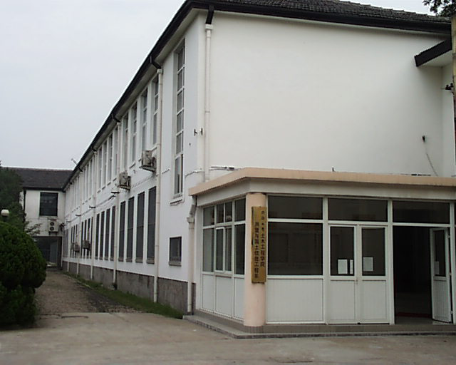
No. 129 Building, 1946 - 2005

New Building of CCE, 2006 - 2012

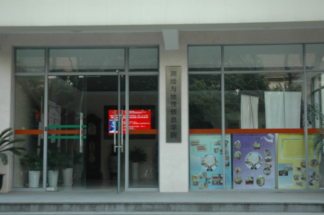
College of Surveying and Geo-Informatics, 2012 till now
