Hongwei Li, a PhD student at our college who participated in China's 38th Antarctic scientific expedition, successfully completed his scientific research task in Zhongshan Station at the end of February 2022
Though faced with double challenges of epidemic and bad weather, with the strong support and assistance from the university and the 38th Antarctic Expedition Team, Hongwei Li successfully carried out the second validation of the ICESat-2 ice sheet surface elevation measurements in the margin of the Antarctic ice sheet during the precious window period, providing data support for understanding the changes and stability of satellite’s long-period measurement accuracy and stability, and accurately measuring the contribution of Antarctic ice sheet mass balance to sea level rise.

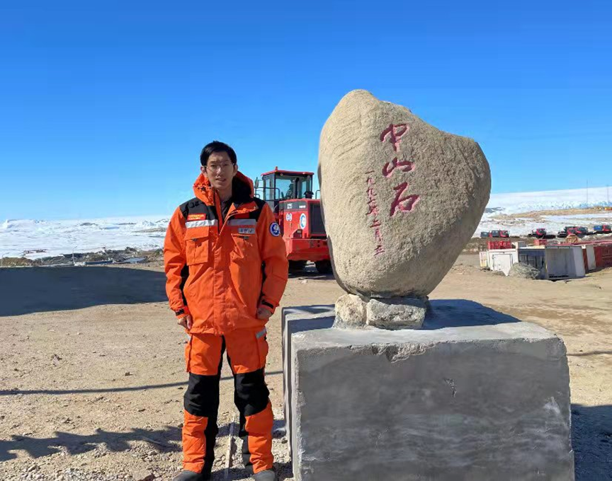
Picture 1. Hongwei Li at China's Antarctic Zhongshan Station
The GNSS control points in the station area were observed again in this scientific expedition, providing centimeter-level accuracy elevation data for subsequent scientific research tasks; High-resolution orthophoto image and ice thickness information were obtained, using UAV and airborne ground penetrating radar, to provide data support for expedition decision-making and operation; Based on airborne optical, laser and thermal infrared sensors, continuous observations of sea ice, crevasses, melting pools and icebergs in the Gulf of Nella were made; Orthophoto images and digital elevation data of the Dålk Glacier ice pit, Concorde Peninsula and departure base were obtained; During Xuelong's voyage, observations of sea ice density and thickness, as well as GNSS data collection, were carried out continuously.

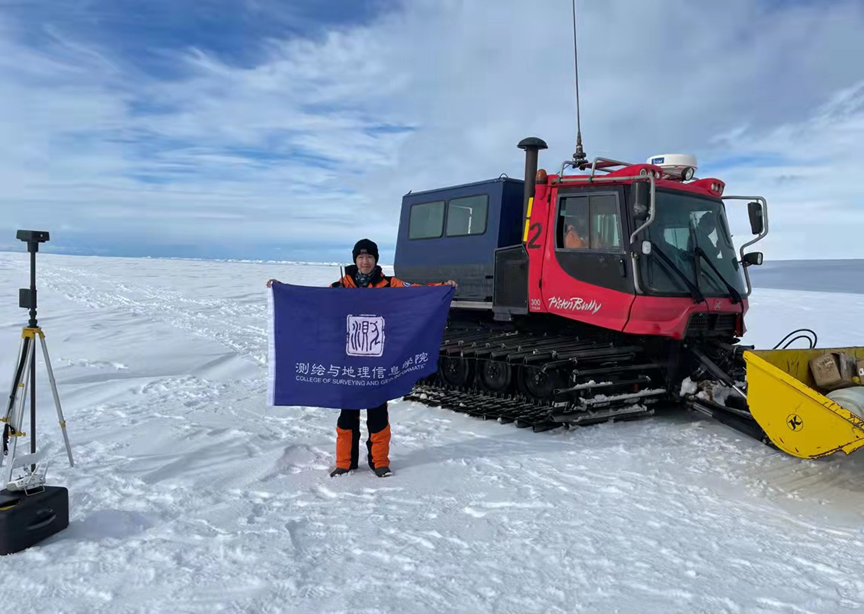
Picture 2. Hongwei Li at the inland departure base of Zhongshan Station

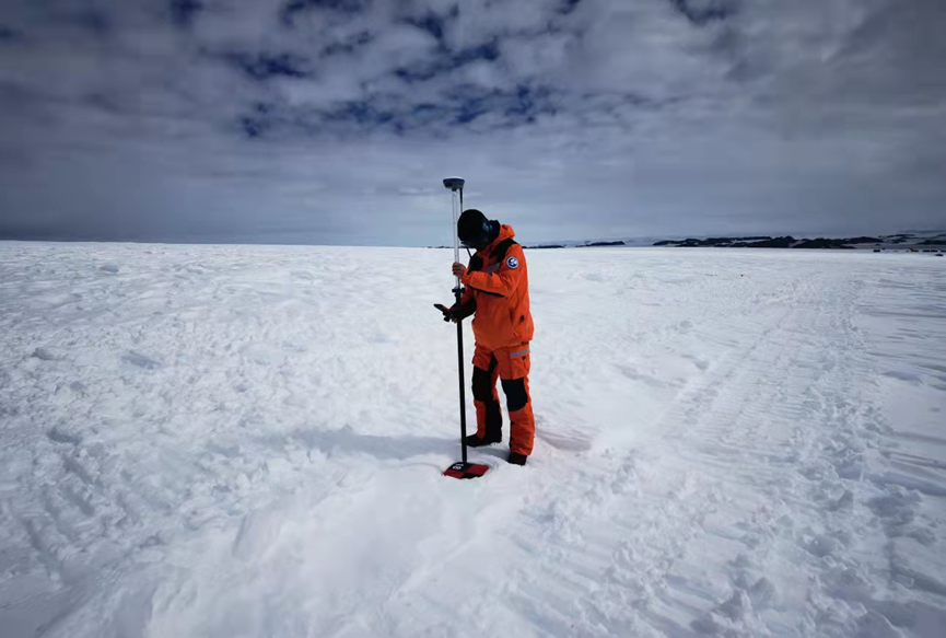
Picture 3. Hongwei Li makes GNSS high-precision positioning observation in the Antarctic ice sheet
Tongji University has long undertaken major projects in China's polar research and has participated in many Antarctic scientific expeditions, making continuous contributions to China's polar research. The observation data obtained in this expedition will help to realize the dynamic monitoring of key elements in different types of regions in the Antarctic. It will play an important role in the development of polar digital products with independent intellectual property rights, the validaiton of product accuracy, and the reduction of uncertainty in the prediction of sea level change, etc.
