China’s 39th Antarctic scientific expedition has been successfully completed, which lasted 163 days and covered more than 60,000 nautical miles. On 6th April, the entire expedition team returned to the dock of China's Domestic Base for Polar Exploration in Shanghai. On 4th April, among the first team members are Yuanyuan Gu and Zheyi Cao, postgraduate students from College of Surveying and Geo-Informatics at Tongji University, who successfully completed their tasks in this scientific expedition.
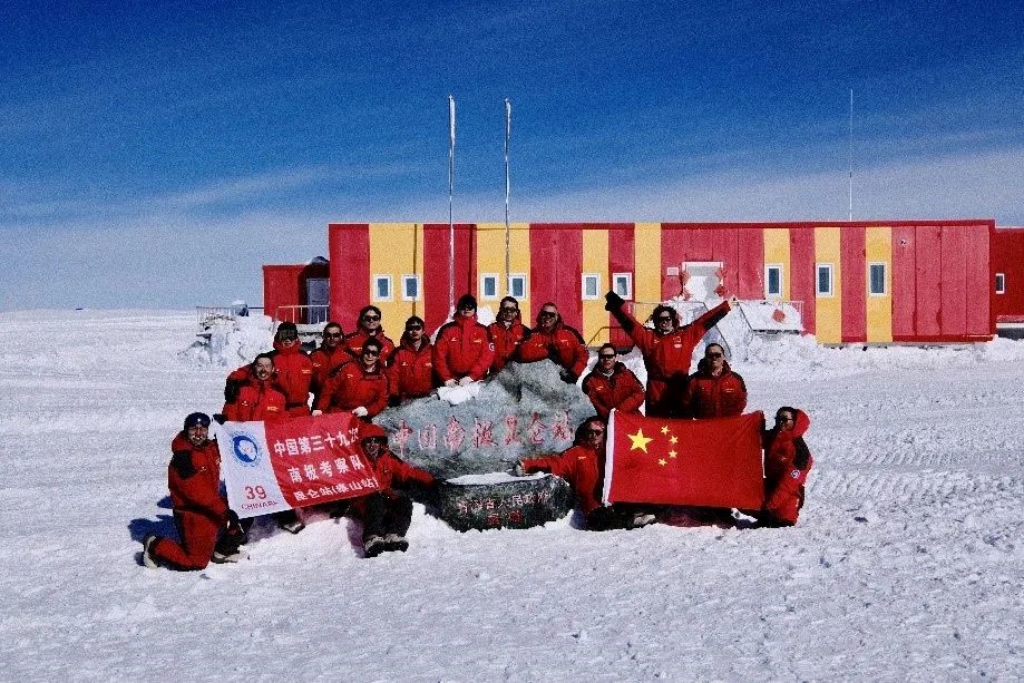
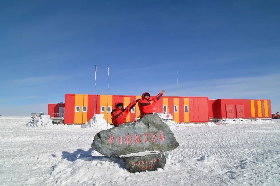
Group photo of the inland traverse team at Kunlun Station
(back row, fourth from left, Yuanyuan Gu, fifth from left, Zheyi Cao)
The expedition team set off in late October 2022. With the support and help of the university, the polar center and the members of the inland traverse team, Yuanyuan Gu and Zheyi Cao set off from Zhongshan Station, passed through Taishan Station, and finally arrived at China’s Kunlun Station in Antarctica.
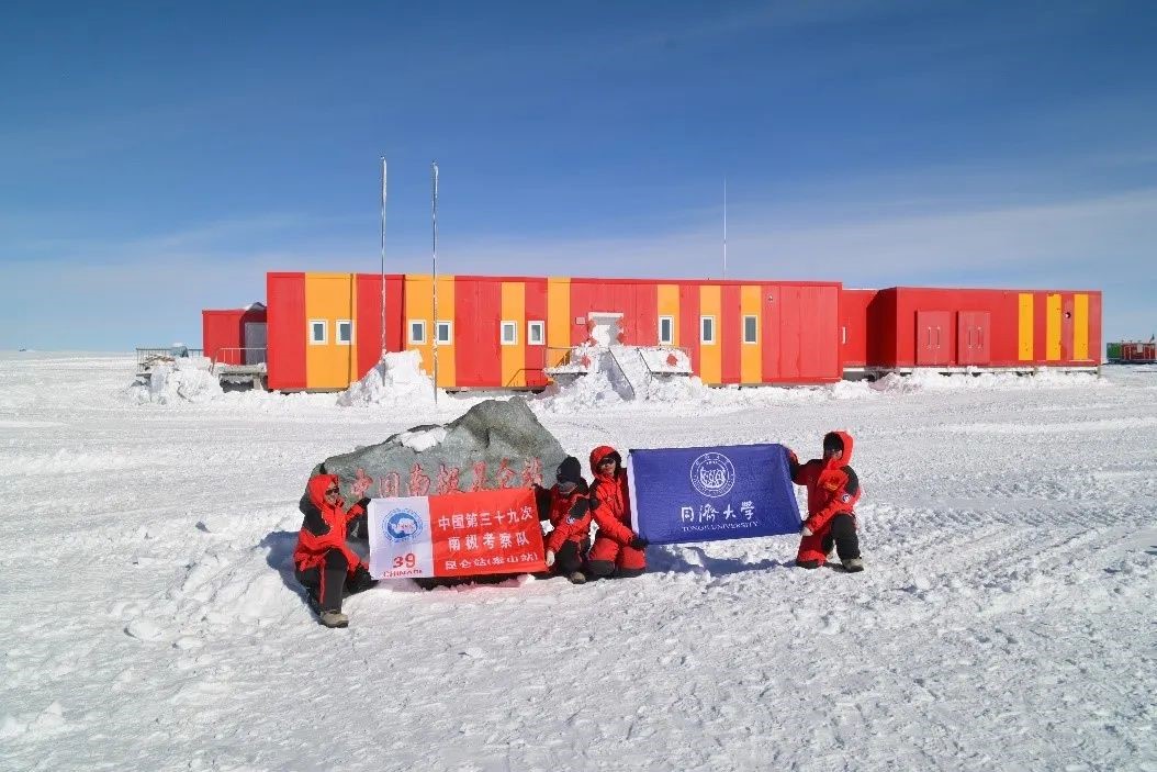
Yuanyuan Gu and Zheyi Cao at Kunlun Station
They completed the comprehensive scientific tasks along the traverse route, collecting valuable scientific data to provide data support for accurately measuring the contribution of the mass balance of the Antarctic ice sheet to rise of sea level.
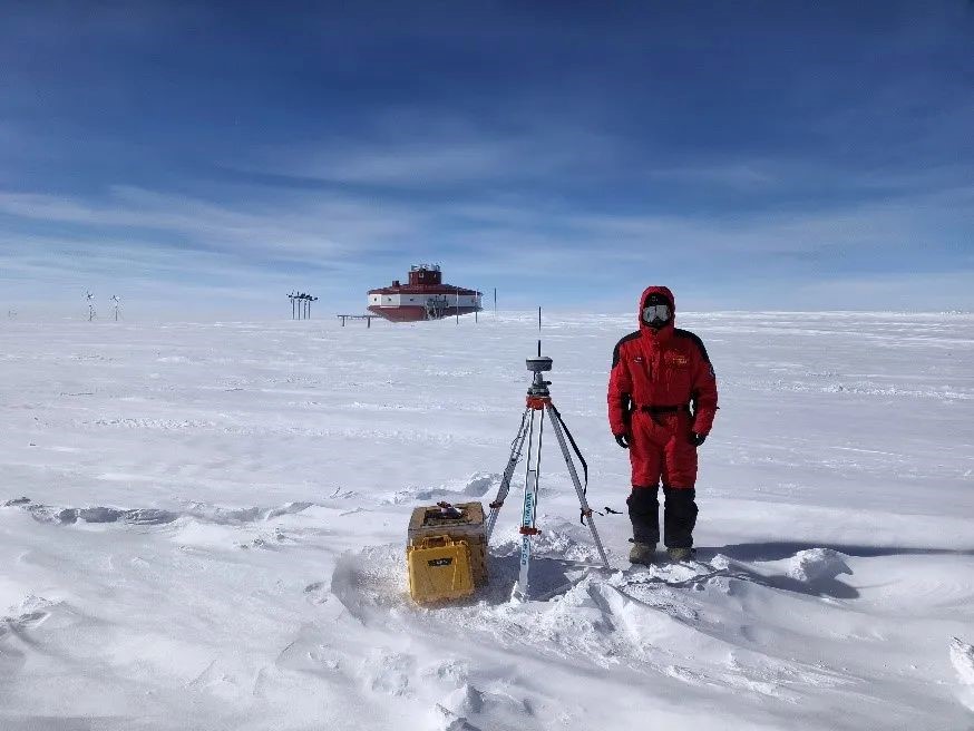
Yuanyuan Gu sets up GNSS station near Taishan Station
During the expedition, they focused on the key parameters (e.g. ice flow rate, ice mass loss, ice/snow temperature) for the calculation of mass balance of ice sheet and glaciers along and around Zhongshan Station, Taishan Station, and Kunlun Station, and more importantly the contribute to global sea level change. The main tasks include: multi-base station vehicle-mounted GNSS measurement along the long-distance inland traverse; high-precision ground verification of single-photon altimetry satellite ICESat-2; The use of satellite corner reflectors for field monitoring of long-term ice flow velocity in Antarctica, etc.
Clearing snow, correcting angles, and testing repeatedly, they not only installed two new sets of corner reflectors for SAR satellites, but also maintained three sets of existing satellite corner reflectors to provide ground-based verification data for the speed of glacier movement obtained from SAR satellite imagery.
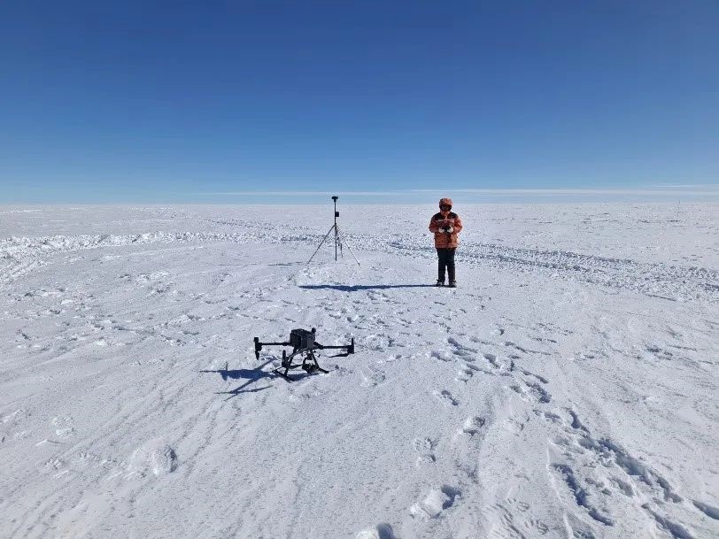
Zheyi Cao collects drone data at Kunlun Station
During the expedition, ice surface and subsurface conditions are often complicated. Zheyi Cao said that it is relying on the careful arrangement of the expedition team, and the continuous development of technical methods, a higher security of scientific research in Antarctica is achieved.
Looking at the Antarctic continent beneath his feet, Yuanyuan Gu conducted scientific observations while walking. The Antarctica, which he had only seen in scientific papers before, jumped out of the paper and was so truly presented in front of him, and so close to him. Yuanyuan couldn't help but sigh: "The scene is very impressive every day." Sometimes, you can see dolphins leaping out of the sea, penguins flapping their little wings, feeling the magic of nature.
Tongji University has long undertaken major scientific projects in China's polar scientific research, and faculties from Tongji have participated in many scientific expeditions to Antarctica, and will continue to contribute to China's polar scientific research. The observation data obtained in this expedition will help to build a ground, air and space-based observation system covering different types of regions, improve the accuracy of mass balance estimation in typical areas of East Antarctica, verify the key scientific processes of the polar cryosphere, analyze the key process elements of the cryosphere, improve the ability to estimate key parameters of the mass balance of the cryosphere, and reduce the uncertainty of sea level change prediction.